Palmer Bush
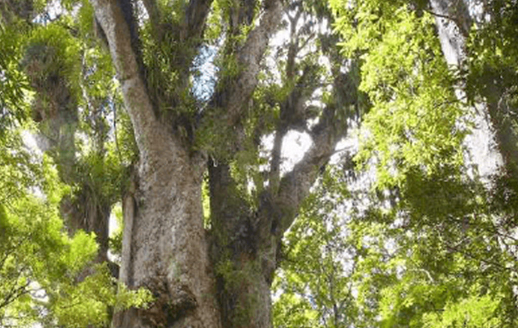
Location The Palmer Reserve is in the Bay of Plenty near Pahoia, between Tauranga and Katikati. The block is 8ha, set aside and protected as part of a lifestyle block subdivision. It adjoins a larger piece of privately owned bush which in turn adjoins the Kaimai Ranges Forest Park. History The reserve was originally owned…
Read MorePehitawa Kahikatea Forest
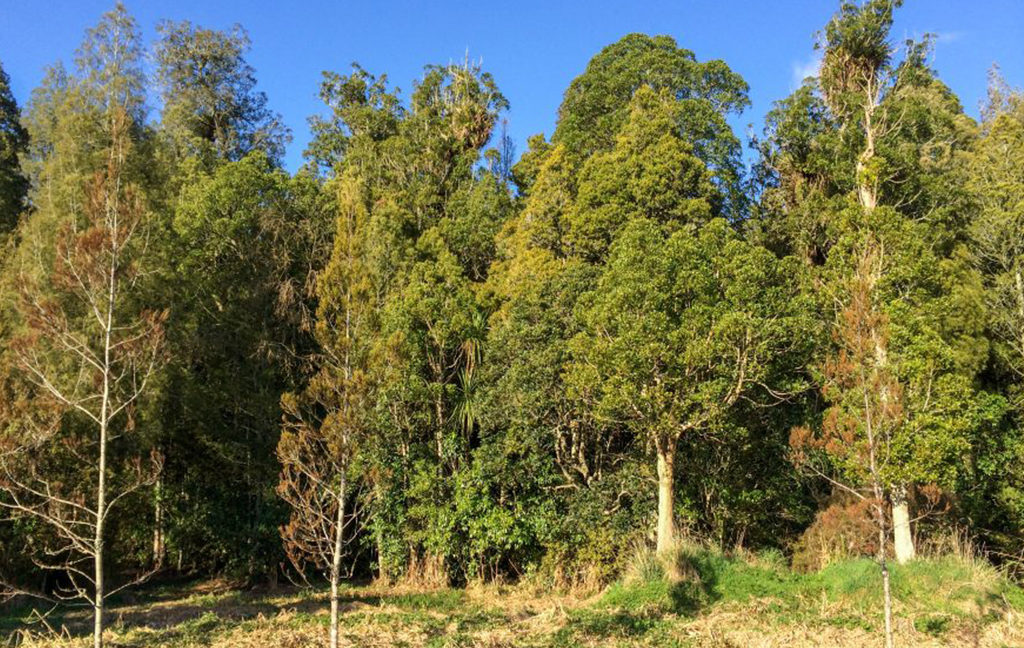
Location The Pehitawa Kahikatea Forest Reserve is an 18.5ha block which forms part of a series of small remnants of lowland kahikatea forest along the Mangapu River, 5km north-west of Te Kuiti in the northern King Country. It is surrounded by farmland. History The reserve was purchased in 2001 from the farming owners who were…
Read MoreRangitoto Station

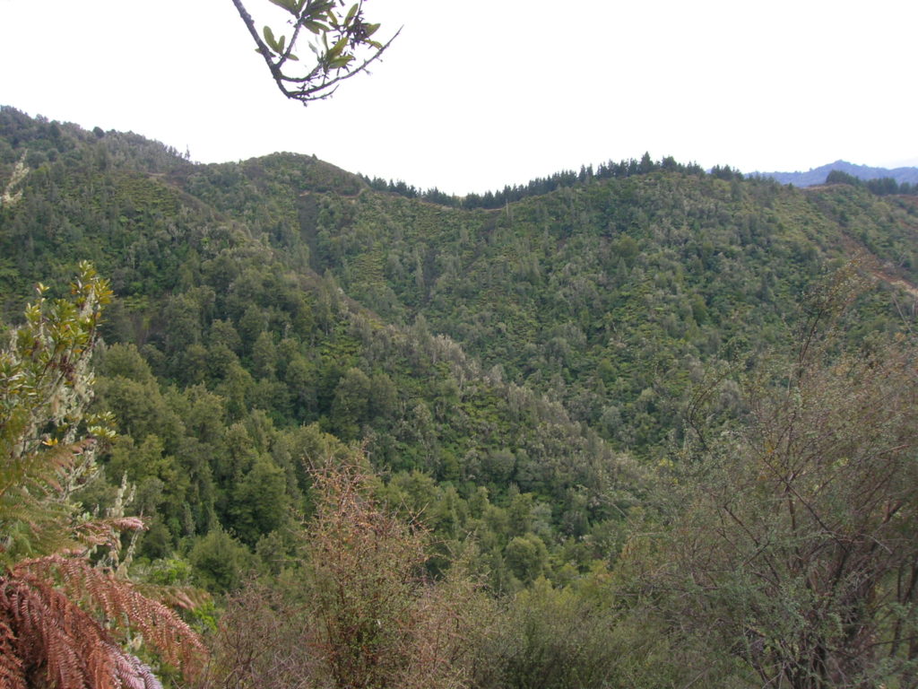
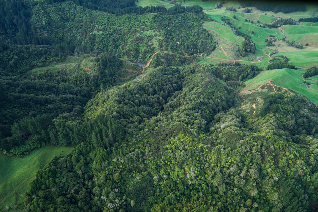
Location Rangitoto Station Reserve lies high up on the Rangitoto Range in the King Country, south-east of Otorohanga. It is a 427ha block of regenerating bush surrounded on all sides by protected mature forest, including Pureora Forest Park, private reserves and Maori Trust land. History Successive owners of the station tried to develop the land…
Read MoreRangitoto Station walking tracks
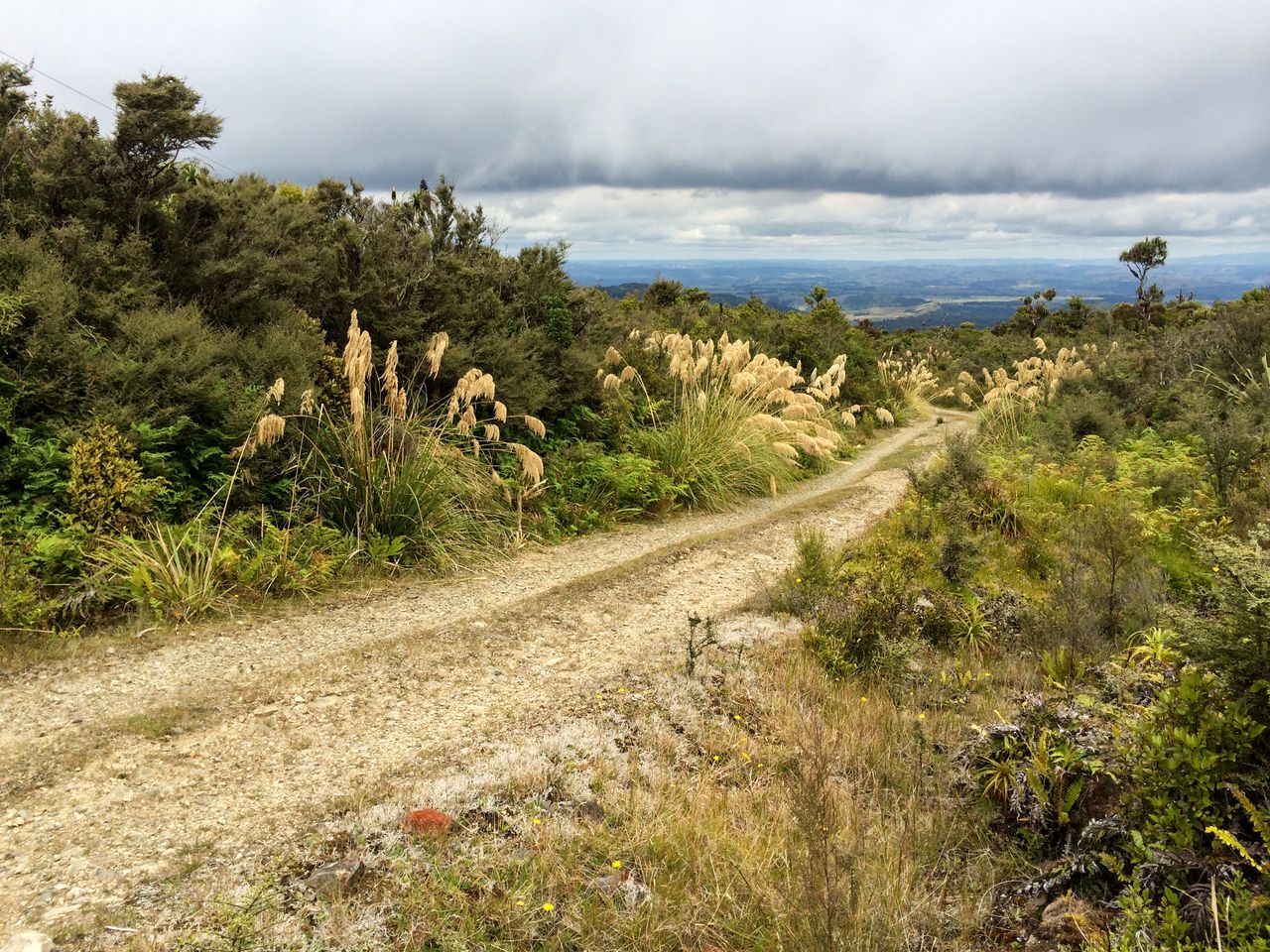
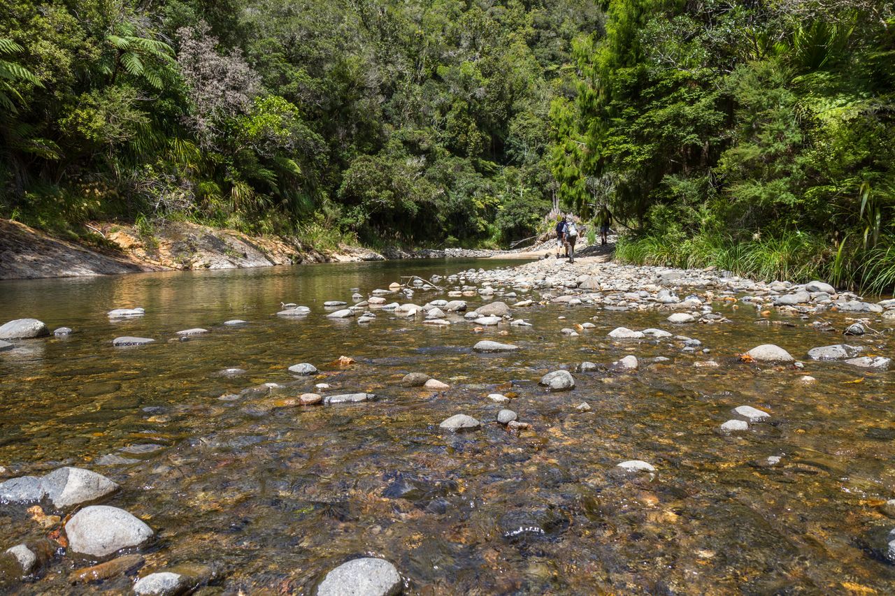
Walking Tracks & Roads There are a number of excellent walking tracks and four formed gravel roads around the reserve. 4WD is recommended for all roads. PLEASE NOTE: Rangitoto Station is a remote, high-altitude site with rough walking underfoot and quickly changing weather conditions. We highly recommend that all users carry a Personal Locator…
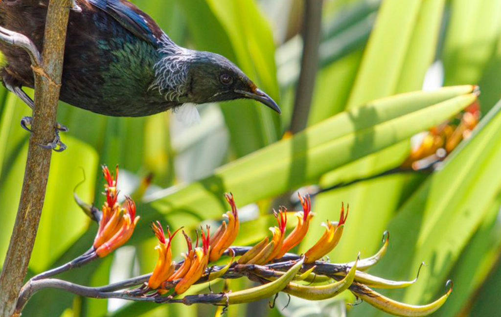
Read MoreMangatutu and Tunawaea kokako project
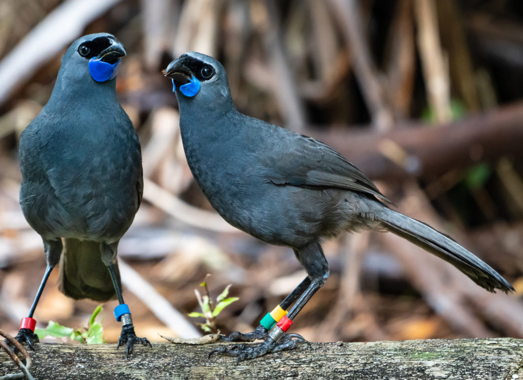
Photo by Bernie Krippner Background: This project has evolved from the initiative that saw the protection of Rangitoto Station by the Restoration Trust. The purchase of this property has provided increased opportunity and involvement by members of the Restoration Trust, the Otorohanga Zoological Society and public generally in active, on the ground conservation management, including…
Read MoreRauroa Bush
Location Rauroa Bush Reserve is in the Western King Country near Mahoenui between Te Kuiti and Awakino. It is 287ha of mature hill country forest with cut over forest to the north stretching to the Herangi Range and the Whareorino Forest, and farmland to the south. History The block was purchased in 1997. It was…
Read MoreRetaruke & Kurua
Location These two blocks (Retaruke 199ha, Kurua 15ha) are within a few kilometres of each other in the hills about 24km south west of Owhango in the southern King Country. History Both blocks were offered to the Trust for purchase by the farming owners in 1997 who were selling up unwanted land. Vegetation The larger…
Read MoreSteuart Russell
Location The 645ha Steuart Russell Reserve is located approximately 12km north of Awakino, between Manganui Rd and the coast. It ranges from its highest point at Mt. Duthie (372m a.s.l.) down to 60m. The reserve is scenically attractive with extensive views over the forested area and surrounding farmland out to sea. History The block had…
Read MoreTui Glen
Location Tui Glen Reserve is part of a farm owned by Mark Frederikson. The 100 hectare area purchased extends to Te Anga Road west of Waitomo Caves. Description The Frederikson family has been involved in the protection of the Waitomo river and caves since the early days and have a covenant and plantings that extend…
Read MoreWaiwawa
Location The 61 ha Waiwawa Reserve is located in the Coromandel Ranges at the highest point on the Tapu Coroglen Road. It is adjacent to #1438 Tapu Coroglen Rd (Haynes’ “Summit Ranch”). The Reserve is on the southern side of the Tapu Coroglen Road with the DOC Conservation Park to the east, the Haynes property…
Read More